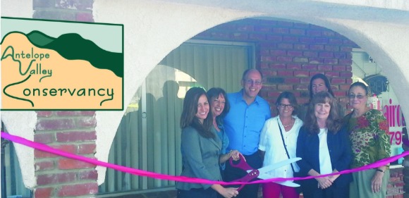
ANTELOPE VALLEY CONSERVANCY
The Antelope Valley Conservancy was founded in 2005 as a community managed conservancy to preserve habitat and wildlife connectivity in the Antelope Valley. AVC has fulfilled habitat preservation and restoration projects for state agencies, counties, local agencies, and private landowners.
Antelope Valley Conservancy has one primary preserve, Big Rock 1, that provides 90 acres for tortoises, kit foxes, burrowing owls, and more. AVC also has a 10-acre preserve protecting oak woodlands/chamise chaparral. AVC has also established additional preservation lands, including acquisition of 40 acres of wetlands in the Devil's Punchbowl Natural Area, design of the Sanitation District's 200 acre rare plant preserve, and design of Lancaster's Amargosa Creek restoration.
Antelope Valley Conservancy has held California Department of Fish and Wildlife Authorization to Hold Mitigation Lands since 2009. If you are interested in mitigation fulfillment, please click here for the AVC Application for Mitigation Evaluation.
The conservancy's recent accomplishments include developing Joshua Tree Woodland preservation, advocating to prevent the destruction of Una Lake, advocating for CESA Listing of the Western Joshua tree, and garnering state approval for the Rift Zone Conceptual Area Preservation Plan (CAPP). You can see the conservancy's videos and letters of comment on the Library page of this website.
As a community managed conservancy, AVC relies on volunteers to serve on its board of directors, fulfill the offices of the corporation, and do the work of preserving land and giving nature a voice in regional planning. If this interests you, please drop us an email and start attending our online meetings. Thank you for your interest in the conservancy's work!
Mission Statement and Motto
ANTELOPE VALLEY CONSERVANCY'S MISSION is the acquisition and stewardship of native habitats, watershed resources, and lands that offer community value. Our mission acknowledges future generations’ interests in land that maintains community character, ecological function, and scenic beauty, as well as the right of nature to retain territory, particularly functional habitats and connectivity.
AVC's MOTTO is "biological integrity, fiscal accountability, and community transparency."
How to Get Involved
Volunteers bring a variety of skills and talents to the conservancy, making it possible to expand our capacities. Meetings are held quarterly online via Google Meet, and every meeting features volunteer training about AVC's projects, policies, and the Land Trust Alliance Standards and Practices that we follow. If have any information to discuss with the board or want to attend a meeting, just let us know.
ANTELOPE VALLEY CONSERVANCY
PO Box 8
Lake Hughes, CA  93532-0008
(661) 943-9000
avconservancy@yahoo.com
Follow AVC on Facebook and Twitter, or email us at avconservancy@yahoo.com
